Can You Swim in Lake Atitlán? Water Quality Explained
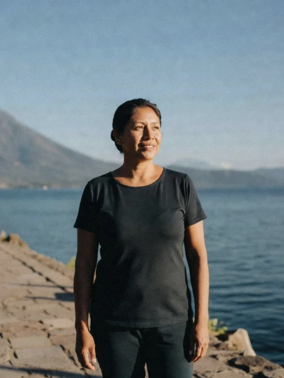
People swim in Lake Atitlán every day, and most come to no harm. It is also true that the lake has a real, recurring cyanobacteria problem, tracked by a government authority that publishes a public warning level. Both of those statements are true at once, and a good answer to "can you swim here" has to hold them together rather than picking the reassuring half or the alarming one. This guide explains how the warning system works, what the current level actually means for a swim, where people swim sensibly, and the honest, sourced answer on the Cerro Tzankujil jumping platform, whose height is genuinely reported differently by different sources.
Quick answer
Yes, with a caveat worth checking first. AMSCLAE's most recently published assessment, checked in August 2026, put the whole lake at orange (medium) on its four-colour cianosemáforo scale, meaning recreational use is not currently recommended lakewide, though conditions vary by cove and the level does change. People swim regardless, most without incident, and the sensible approach is to check AMSCLAE's current reading before you plan to get in.
Key takeaways
- Current status: orange (medium), lakewide, per AMSCLAE's latest reading checked August 2026
- Green means clear water suitable for recreation; orange means recreational use is not currently recommended
- Cerro Tzankujil is the one spot built specifically for swimming and jumping, entry and platform details here
- The safest habit: swim away from village docks and boat lanes, not in them
- Water sits near 21°C (70°F) most of the year, cooler than the air suggests
- Tours with dedicated swim time: a cliff-jump and villages day and a private tour built around the Tzankujil swim
The Honest Answer on Water Quality
Lake Atitlán is not pristine, and it is not unswimmable. Both of those simpler claims show up online, and both are wrong. The accurate picture is a working lake basin with a genuine, documented cyanobacteria problem, tracked and published by a government authority, alongside daily, ordinary use by residents and visitors who swim without incident.
Neither fact cancels the other out.
AMSCLAE, the Autoridad para el Manejo Sustentable de la Cuenca del Lago de Atitlán y su Entorno, is Guatemala's government authority for the lake basin, and it attributes the blooms behind this problem to a specific, unglamorous set of causes: untreated wastewater entering the lake, solid-waste handling around the shoreline, and agrochemical runoff carrying phosphorus and nitrogen into the water. Those are the same nutrients that feed algae blooms in lakes worldwide, and AMSCLAE has specifically warned that the rainy season can accelerate blooms, since runoff carries more of those nutrients in during heavy rain.
Blooms are recurring and seasonal rather than permanent, and conditions genuinely vary between coves on the same lake. That variability is exactly why a single lakewide colour rating, however useful as a headline figure, is worth checking close to your travel dates rather than treating as fixed.
How AMSCLAE's Cianosemáforo Works
AMSCLAE runs a four-colour warning scale, the cianosemáforo, that functions like a traffic light for cyanobacteria risk across the lake. Here is what each colour means and what it advises.
| Colour | What the water looks like | What is advised |
|---|---|---|
| Green (normal) | Clear | Suitable for recreation |
| Yellow (low) | Cloudy, filamentous algae present | Recreational use should be avoided; rinse with clean water after contact |
| Orange (medium) | Greenish, with visible surface patches | Not fit for human or animal consumption; recreational use is not recommended; clean any fish thoroughly |
| Red (high) | Dense, pasty, yellow-brown mass | Serious health risk; bathing and eating lake fish, crab or snails prohibited |
This scale is published by AMSCLAE and is the right authority to check before you plan a swim, since the level applies to the whole lake at once but conditions genuinely shift by cove and by season. Last verified: August 2026.
What the Current Level Means for a Swim
As of AMSCLAE's most recently published assessment, checked in August 2026, the whole lake sits at orange (medium). Under that rating, the water is described as greenish with visible surface patches, the lake is not fit for human or animal consumption, and recreational use is specifically not recommended by AMSCLAE, though this stops short of a red-level prohibition.
This does not mean nobody gets in. It means the government authority's own current guidance leans against it, and that guidance is the most reliable single thing to check before you build a swim into your plans, since the level does change and can move between colours within weeks depending on rainfall and runoff. Check AMSCLAE's own published status close to your travel dates rather than relying on any single snapshot, including this one.
It's worth being specific about what orange does and doesn't say. It is not the red rating, which prohibits bathing and eating lake fish, crab or snails outright as a serious health risk. Orange sits a step below that: the water is described as greenish with visible surface patches rather than the dense, pasty mass associated with red, and the guidance is a recommendation against recreational use rather than a formal prohibition.
That distinction matters for how you read the headline colour, without turning it into an argument for ignoring it.
How People Swim Here Sensibly
None of this is medical advice, and this guide does not diagnose any health condition related to lake contact. It reflects the standard precautions travellers and local guides commonly use, alongside AMSCLAE's own published guidance.
- Check AMSCLAE's current cianosemáforo reading before you plan to get in
- Swim off rocky shores, away from village drains and boat lanes
- Don't swallow the water
- Rinse with clean water and soap after getting out
- Stay out if the water looks visibly green or has surface scum, regardless of the published colour level
- Keep open cuts out of the water
Cerro Tzankujil, the One Place Built for It
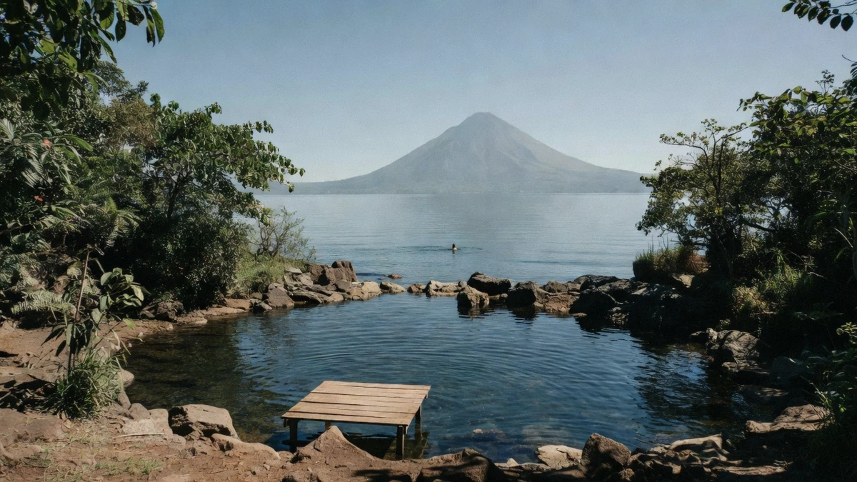
Cerro Tzankujil nature reserve, on the shore at San Marcos la Laguna, is the one spot on the lake genuinely built for swimming rather than incidental to it. It's open 08:00 to 17:00 daily, and entry runs about Q25 for adults and Q15 for children under 12, roughly $3.30 and $2.00 at the current reference rate. The reserve includes walking trails, viewpoints over the lake and the surrounding volcanoes, direct lake access from a built platform rather than a raw shoreline, and a wooden jumping platform that draws its own share of visitors.
The jumping platform's height is one of the few genuinely contested facts on this whole site, and rather than pick a single number, it's worth giving both sides. The tour operator running the cliff-jump excursion states the platform at 12 metres. Separately, the reserve's own platforms are commonly described in other reporting as three separate heights, 3 metres, 5 metres and 8 metres, suggesting there may be more than one jump point at different heights rather than a single fixed platform.
Neither figure is presented here as the definitive one; both are attributed to their source, and if the exact height matters to your decision to jump, ask on site before you commit.
| Detail | Figure | Source |
|---|---|---|
| Reserve hours | 08:00 to 17:00 daily | Reserve information |
| Entry, adult | about Q25 (about $3.30) | Reserve information, checked August 2026 |
| Entry, child under 12 | about Q15 (about $2.00) | Reserve information, checked August 2026 |
| Platform height (operator) | 12 metres | Cliff-jump tour operator listing |
| Platform height (reserve) | 3 m, 5 m and 8 m | Reserve reporting |
For more on San Marcos la Laguna itself, the village's wider character, its role as the lake's yoga and wellness centre, is covered in the village-by-village guide rather than repeated here. Last verified: August 2026.
Getting to San Marcos la Laguna is a boat ride like any other on the lake: fares and docks are covered in our lancha and water taxi guide, and if you would rather have the crossing arranged for you, the Tzankujil swimming tour and the cliff jump and villages day both build the reserve into a full itinerary.
Other Places People Get In
Cerro Tzankujil is the one built, ticketed swim spot, but it isn't the only place people get in the water. Several lakeside lodges and small hotels around villages like Santa Cruz la Laguna and San Marcos la Laguna offer their own dock or shoreline access for guests, generally away from the public lanchas' boat lanes and away from village wastewater outflows, which is exactly the kind of spot the precaution list above is describing.
Public docks in busier villages, by contrast, are the places to avoid for swimming specifically, not because of any particular water-quality reading but because they combine boat traffic, foot traffic and the kind of shoreline activity that has nothing to do with recreation. A quiet rocky cove well clear of a dock is a meaningfully different environment from the water immediately around one, even on the same stretch of shoreline.
Ask locally before you pick a spot that isn't Cerro Tzankujil or a lodge's own access point. Residents and guides in each village generally know which coves are used regularly and which sit closer to a drain outflow or a busy boat lane, and that local knowledge is more current than any guide can be about a specific unmarked stretch of shoreline. It costs nothing to ask, and it's a better source than guessing from the shore.
Water Temperature, Depth and What Surprises Swimmers
Lake Atitlán's water surface temperature sits near 21°C (70°F) for most of the year, noticeably cooler than the warm highland air and strong sun at 1,562 metres elevation would suggest, and it's the single most common surprise for first-time swimmers who expect a tropical-lake temperature and get a highland one instead.
The lake's bottom drops away fast close to shore in most places, a natural consequence of its volcanic caldera origin. It's the deepest lake in Central America, at 340 metres (1,120 feet) at its maximum point, and while nobody swims anywhere near that depth, the shelf near shore is short in most spots compared to a typical beach lake, which is worth knowing if you're wading in expecting a long shallow stretch before it deepens.
Sun exposure catches out more swimmers here than the water itself does. At 1,562 metres elevation, UV is strong year round, and a swim break in the middle of a boat day often means more direct sun exposure than travellers expect from a lake setting, given the surrounding volcanic peaks don't offer much shade over open water. Sunscreen reapplied after getting out, not just before getting in, is worth building into the same routine as the rinse-off habit above.
Season matters here as much as anything. Lake surface conditions, the afternoon wind and the rains that flush nutrients into the basin all move together through the year, which our best time to visit guide sets out month by month.
Should You Plan a Swim Into Your Day
If you want a dedicated, built swim spot with facilities
plan a stop at Cerro Tzankujil in San Marcos la Laguna and check the current AMSCLAE reading before you go.
If the current cianosemáforo reading is orange or red
treat swimming as optional rather than a must-do, and lean on the precaution list rather than skipping it.
If you're travelling with young children
the reserve's built access points are a safer choice than an unmarked shoreline spot, regardless of the water-quality reading.
If you're nervous about the jump height at Tzankujil
ask on site before you commit, given the operator and the reserve report different heights.
If you'd rather skip swimming altogether
most boat tours run fine without it; a swim stop is an addition, not a requirement, on most itineraries.
Boat Tours That Include Swimming Time
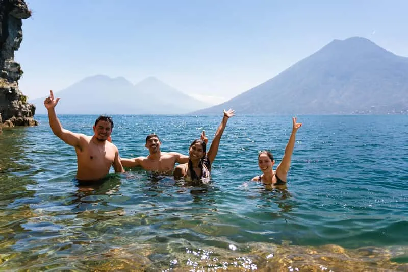
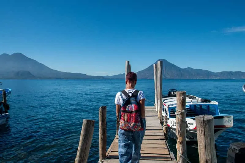
Some boat days build in dedicated swim or jump time at Cerro Tzankujil rather than treating it as an afterthought. The adventure boat tour combining a hike, the cliff jump and Mayan villages runs $75 for 7 hours, rated 5.0 from 32 reviews. For a more private pace, a tour built specifically around San Juan la Laguna and a Tzankujil swim runs $129 for 8 hours as a private booking.
 from $75
 Adventure Boat Tour: Hike, Cliff Jump & Mayan Villages Lake Atitlán
Boat tour combining a lancha crossing to San Marcos la Laguna with a hike along an ancestral lakeside trail to Tzankujil Nature Reserve. Includes a 12-meter cliff jump…
- Lancha to San Marcos la Laguna
- Ancestral lakeside trail hike with volcano views
- 12m cliff jump at Tzankujil Nature Reserve
- Mayan village stops by boat
 from $129
 Private Boat Tour: San Juan la Laguna & Swim at Tzankujil
Private tour from Panajachel to San Marcos la Laguna for swimming at Cerro Tzankujil nature reserve, then on to San Juan la Laguna for a guided village walk…
- Private boat, your group only
- Swim at Cerro Tzankujil nature reserve, San Marcos
- Women's weaving cooperatives in San Juan la Laguna
- Flexible pace and route
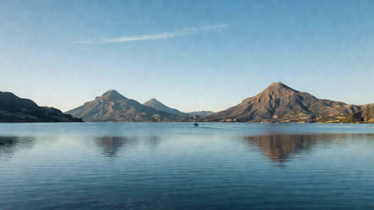
The short version holds up under scrutiny: this is a working lake with a real water-quality issue that a government authority tracks and publishes openly, and it's also a lake people swim in every day without incident. Checking AMSCLAE's current reading, picking a spot away from docks and drains, and treating the built access at Cerro Tzankujil as the default rather than an afterthought covers most of what actually matters. For the boat side of a lake day, boat tours with swimming stops on Lake Atitlán run from Panajachel and several other villages, whatever the current colour reading happens to be.
Frequently Asked Questions
Can you swim in Lake Atitlán?
Yes, and people do every day, most without incident. AMSCLAE's most recently published assessment, checked August 2026, rated the whole lake orange (medium), meaning recreational use is not currently recommended, so it's worth checking the current reading before you plan to get in.
Is Lake Atitlán polluted?
It has a documented cyanobacteria problem, tracked by AMSCLAE and attributed to untreated wastewater, solid-waste handling and agrochemical runoff. It isn't accurate to call the lake either pristine or unswimmable; both overstate the picture in opposite directions.
Where is the best place to swim in Lake Atitlán?
Cerro Tzankujil in San Marcos la Laguna is the one spot built specifically for swimming, with a ticketed entry, built access points and a jumping platform. It's the safer default over an unmarked village shoreline.
How cold is the water in Lake Atitlán?
The surface sits near 21°C (70°F) for most of the year, cooler than most swimmers expect given the warm air and strong highland sun.
How much does it cost to enter Cerro Tzankujil?
About Q25 for adults and Q15 for children under 12, roughly $3.30 and $2.00 at the current reference rate. The reserve is open 08:00 to 17:00 daily.
How high is the cliff jump at San Marcos?
Reports differ. The tour operator running the cliff-jump excursion states 12 metres, while the reserve's own platforms are commonly described elsewhere as 3, 5 and 8 metres. Ask on site if the exact height matters to you before you commit to jumping.
What should you do after swimming in the lake?
Rinse off with clean water and soap, avoid swallowing lake water while you're in it, and stay out entirely if the water looks visibly green or has surface scum, regardless of the currently published colour level.